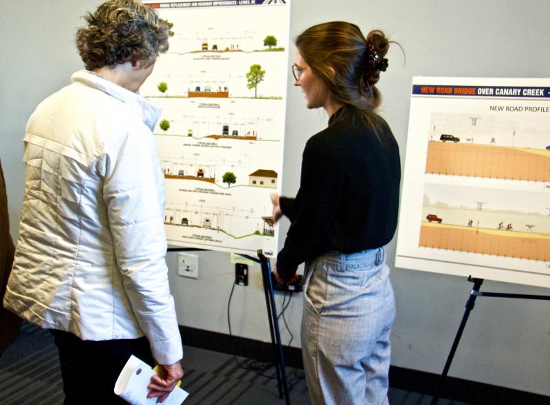
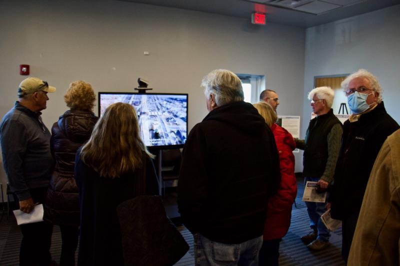
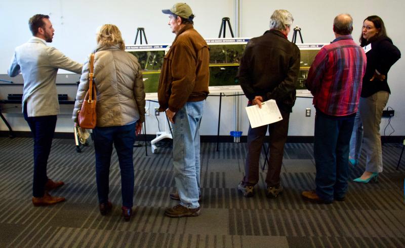
Delaware Department of Transportation representatives and members of the Whitman, Requardt and Associates design team took questions from the public at a March 29 workshop about the upcoming bridge replacement and roadway changes on New Road near Canary Creek. The event, held at the Lewes Public Library, featured a questionnaire for attendees, visual aids, bullet-point agendas and transportation design experts stationed at various info charts.
Built in 1989, the 30-foot timber bridge currently only has 2.9 feet of clearance from the normal water surface and frequently floods during high-water weather events, forcing it to close or presenting hazardous conditions for motorists. The new bridge and roadway, which are expected to be completed in 2024, will be built to match the 100-year flood elevation and put the new structure clearance at 10.9 feet. Comprising two 45-foot spans, the new bridge will have one path over Canary Creek and another over marsh area to allow for safe passage of wildlife, and a 10-foot, shared-use path running parallel to the roadway the entire length of the project. Plans indicate that the roadway will have 11-foot travel lanes with shoulders between 5-feet and 5-feet-5-inches wide.
Bridge construction is not scheduled to take place until fall 2023; however, DelDOT officials expect plans to be finalized this April. A closure of up to seven months is expected. Recently, some residents, backed by members of two Lewes committees, have voiced safety concerns about the recently modified shared-use path plan and frustration over the plans’ complexity. One home, according to the owner, could be extremely impacted if the project reverts to the original plans for the shared-use path.
The workshop gave area residents who could be affected by the construction, both during and after, a chance to talk to the design experts and understand why the new bridge is needed. Officials explained the project goals to participants: to reduce flooding along New Road, minimize impacts to adjacent properties, limit construction duration to lessen traffic impacts, and ensure they are designing, developing and constructing a cost-effective bridge and roadway that not only meet state and federal criteria but are consistent with the 2015 Lewes Scenic and Historic Byway Corridor Management Plan and 2019 draft New Road Master Plan.
Detailed satellite photos, paired with projected imagery, showed attendees what could happen if the bridge and current roadway remained unchanged, and what could happen with the new construction. Some photos showed a projection of the roadway being underwater if changes are not made, and other visual aids detailed changes planned for Forecastle Lane, Captains Circle and Schaffer Lane, with the latter two roadways also having to be raised to the 100-year flood level.
Additional efforts to mitigate flooding concerns in the area include building drainage ditches and a retaining wall along the roadway, varying in height from 4 to 9.5 feet. Designers offered four styles of an aesthetic treatment, and workshop participants were given the opportunity to pick their favorite.
A planned detour utilizes Pilottown Road, Savannah Road and Old Orchard Road for vehicular traffic and sees bicycles predominantly utilizing the Lewes-to-Georgetown Trail while also using Old Orchard Road in addition to Jefferson Avenue and West Fourth Street. During the bridge closure, only local residents would have access to New Road.
No more public meetings are currently scheduled for this project; however, comments can be submitted and more information including workshop items can be found by searching “Canary Creek” at deldot.gov/projects. Comments can also be made by calling 302-760-2299 or emailing dotpublic@delaware.gov.


