Report presents ways to improve Milton
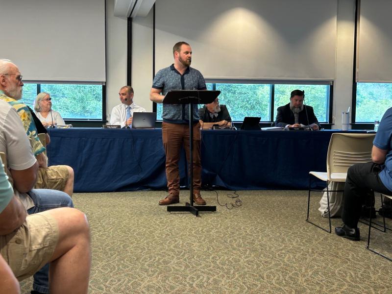
Milton officials got their first look Aug. 19 at a community resilience strategy meant to mitigate flooding around town as part of a partnership with Delaware Sea Grant.
The town entered into its partnership with Delaware Sea Grant in January with the idea of examining downtown Milton, specifically the waterfront, and offering a report and possible solutions. The study was done by the Coastal Resilience Design Studio, which uses college students from University of Delaware to work with communities to provide sustainable design solutions to flooding.
Zachary Hammaker, head of the studio, said communities that have used the studio before include Lewes, Frederica and Slaughter Beach.
The first step in the study was a survey of town residents to find what they like about Milton and what can be done to improve the town. Among the things residents wanted to see are more parking and less traffic, more small businesses, walking and biking trails, and improving the waterfront areas. Residents did not want to see strip mall-style commercial businesses, more traffic, development of wetlands areas and high-density housing.
The study included a look at the watershed in and around Milton, locating key areas prone to flooding such as Magnolia Street, Front Street and Atlantic Street, and also examining the effects of sea-level rise. Also included was an ecological analysis.
In its policy analysis, the studio found that new development will begin to put increased pressure on the watershed, both with increased impervious surfaces and what the report called the Milton Squeeze, which is created by increased stormwater flooding resulting from development, land cover change in the surrounding watershed and increased tidal flooding from the coast.
Among the ideas for alleviating flooding were small things like conservation buffers and rain gardens, and bigger ideas such as using a StormTrap system, which is made of prefabricated concrete and installed underground. Rain goes into the StormTrap chambers where it is stored and gradually released. The report says an ideal place for a StormTrap would be underneath a school field. One of the features of a StormTrap is that it eliminates the need for above-ground stormwater retention ponds.
On trails, the report calls for a Milton Wheel, in which Milton would serve as a trail hub for five different surrounding trails: Prime Hook, Redden Forest, McCabe Preserve, Hopkins Preserve and Forest of the Broadkill. The main center for the Milton Wheel would be what the report refers to as Wheelhouse Park, to be located near Dogfish Head brewery. The park would include a play area for kids and a welcome center. Another trail hub would be located on Front Street.
Finally, the report proposes repurposing the land that is currently the wastewater treatment plant on the banks of the Broadkill River. Plans are in place for that plant to be demolished once Artesian, the town’s wastewater provider, relocates its treatment operations to its Sussex Regional Recharge Facility on Gravel Hill Road. The report calls for turning that land into a park called Water Works Park that would include a boat launch, a trail connection to Milton Memorial Park and reusing part of the plant building and its underground water pipes as part of a multi-use building with a public lookout on top.
The presentation to council was done by students Bri Egan, Cate Boettger, Harry Waddington, Jackson Whitcomb, Marissa Van Lill and Talia Brinker. Hammaker said the plan is to make further revisions before the report is formally submitted to the public. What steps are acted on would be up to town council; Hammaker said the best way to go about things from the town’s perspective is to form working groups to examine different aspects of the report, and work on pricing and implementation.
To view the report, go to https://tinyurl.com/4239x8rh.
Ryan Mavity covers Milton and the court system. He is married to Rachel Swick Mavity and has two kids, Alex and Jane. Ryan started with the Cape Gazette all the way back in February 2007, previously covering the City of Rehoboth Beach. A native of Easton, Md. and graduate of Towson University, Ryan enjoys watching the Baltimore Ravens, Washington Capitals and Baltimore Orioles in his spare time.


