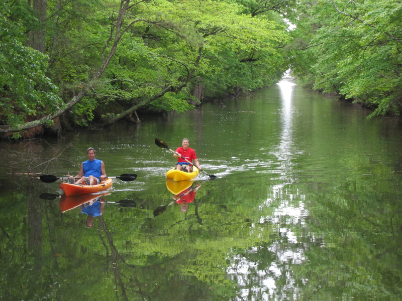
State to dredge portion of Assawoman Canal
State officials have applied for federal permits to dredge the Assawoman Canal to open up areas that currently pose challenges to waterway traffic.
While the permit application covers possible dredging of the entire 4-mile canal, current plans are to dredge problem areas with sediment buildup, said Chuck Williams, lead planner for the state's Shoreline and Waterway Management section.
The bulk of work will be in the northern half of the canal, from White Creek to Route 26, Williams said. Some spots in the canal near the Ocean View Marina and Bethany Beach's Loop Canal are now difficult to navigate because of sediment, he said.
“It's just a bad area,” he said. He expects work to begin in early 2017, if all permits are acquired by the end of the year. He said the $75,000 to $100,000 project price tag was included in the state's fiscal year 2017 budget.
By obtaining a permit that will cover dredging anywhere in the canal, state officials will have a head start when they're ready to tackle the rest of the waterway.
“It will be needing it someday in the near future,” Williams said. He said he also hopes resources are available to study why these two areas fill up with sediment faster than the rest of the canal.
Assawoman Canal was last dredged between 2006 and 2010, a project that was stalled by time-of-year restrictions that protected sensitive fish species and their habitats. That project dredged about 65 percent of the canal to 35 feet in width and a depth of 3 feet below mean low water, Williams said.
The upcoming dredging project will cover about 15 percent of the canal, Williams said, and will take less than three months to complete.


