A survey of Lewes Beach rights of way has found pervasive encroachment into city-owned land on most streets between Roosevelt Inlet and Savannah Road.
The recently re-formed beach parking committee is now tasked with figuring out what to do with the information.
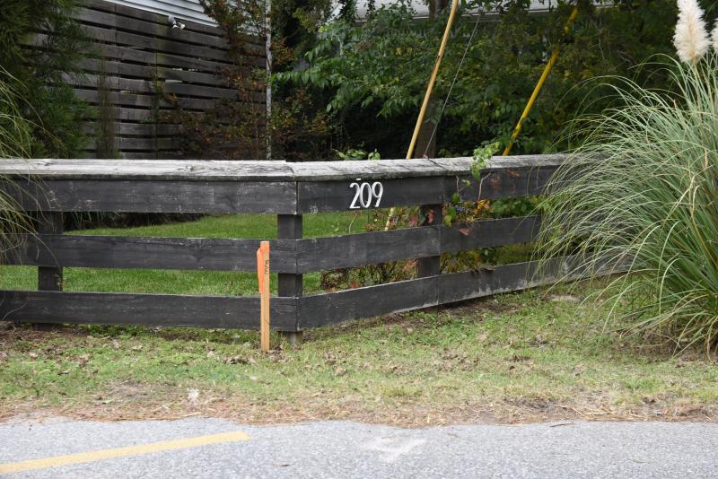
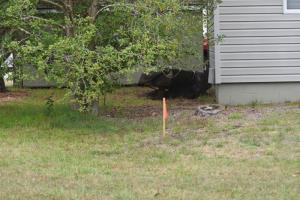
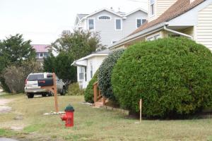
The city hired Atlantic Surveying & Mapping to clearly mark the corners of each property between Cedar Street and Bay Avenue. Photographs of the stakes show many residents have extended landscaping, driveways, fences and, in some cases, structures into the city’s rights of way. Such activities significantly narrow the streets and prevent or severely limit public parking.
The survey report, which is well over 400 pages, is available on the city’s website. The report features multiple photographs of every property included in the survey as well as a list of found encroachments.
Beach committee members will now go out to assigned streets to verify and document the encroachments themselves. Six members of the committee were each assigned four streets to evaluate.
Councilman Rob Morgan, committee chair, said the goal is to improve the parking situation on the beach. He said he hopes the committee’s on-the-ground review will lead members toward consensus for a regulation that is generally applicable to all streets on Lewes Beach.
Morgan said there isn’t a target the committee is aiming for in terms of increased parking inventory. He said members are trying to have the least amount of impact, while improving safety for drivers, pedestrians and bicyclists, and adding public parking.
Former Councilman Dennis Reardon, a committee member who lives on Lewes Beach, asked if the city is planning to recover its entire right of way and force residents to remove any obstructions.
“My understanding from the first beach parking committee was that the intent was to just look at each of these properties with an eye toward where encroachments prohibit parking,” said Reardon, whose property is not affected by the survey. “We didn’t intend to look at an entire encroachment that may have been there for many, many years.”
Morgan said he wants to analyze the entire right of way, but generally the committee should note the first 10 feet from the pavement where a vehicle would park parallel to the street.
The survey, which cost the city $15,100, was limited to only streets running perpendicular between Cedar Street and Bay Avenue. Bay Avenue properties were surveyed before the street was repaved nearly a decade ago.
The committee is a recommending body, and whatever is recommended must be approved by mayor and city council.
The beach parking committee will next meet at 6 p.m., Thursday, Nov. 5, when members are expected to begin discussing the results of their field work.


