Massey’s Ditch dredging underway
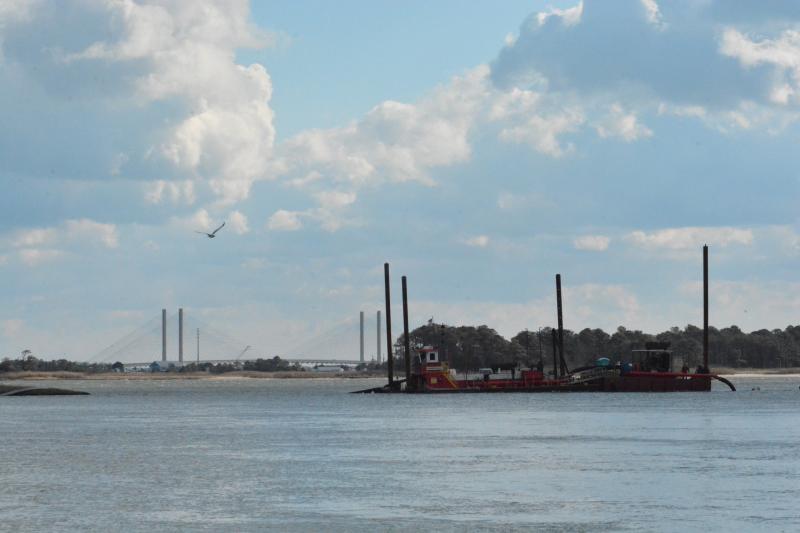
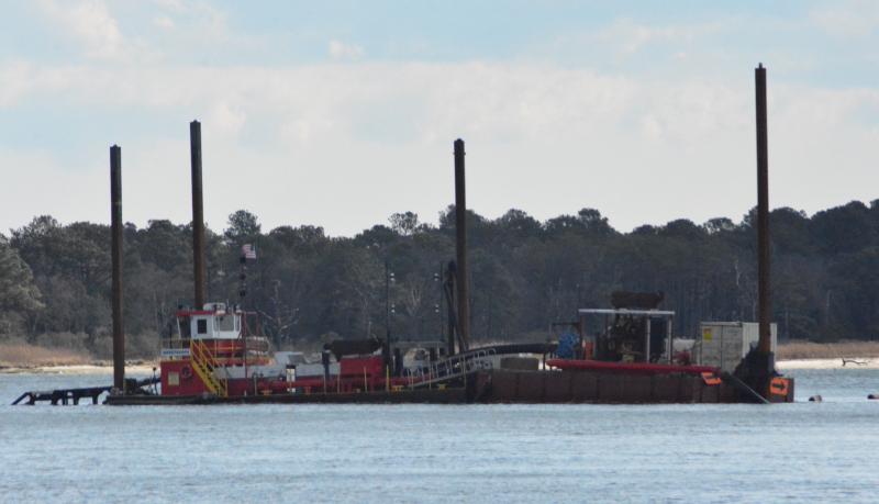
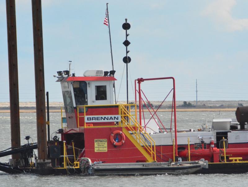
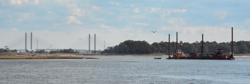
The long-awaited dredging of Massey’s Ditch at Massey’s Landing has begun. The crew from Wisconsin-based contractor J.F. Brennan Company Inc. moved their equipment into place last month and began work the first full week of January.
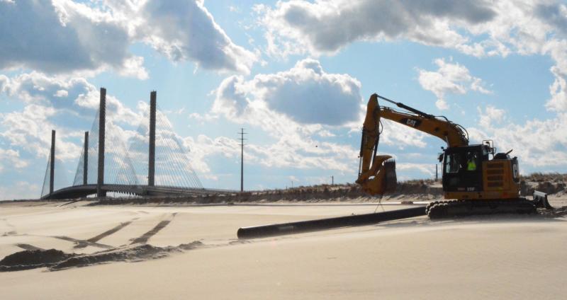
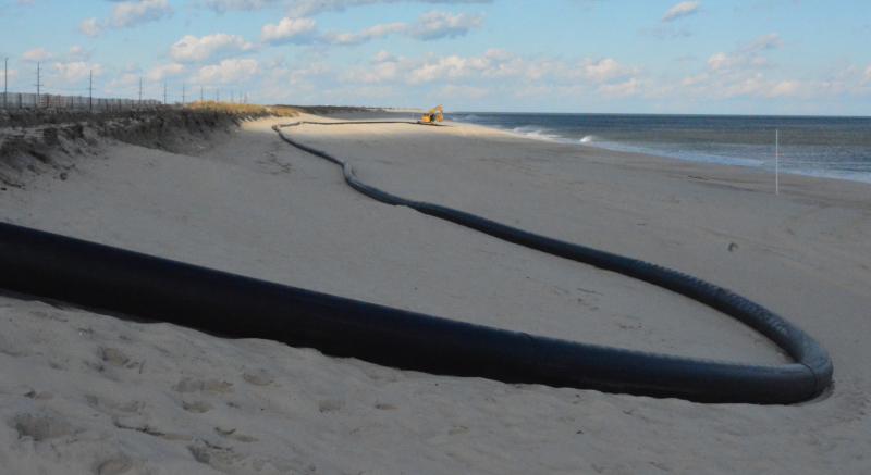
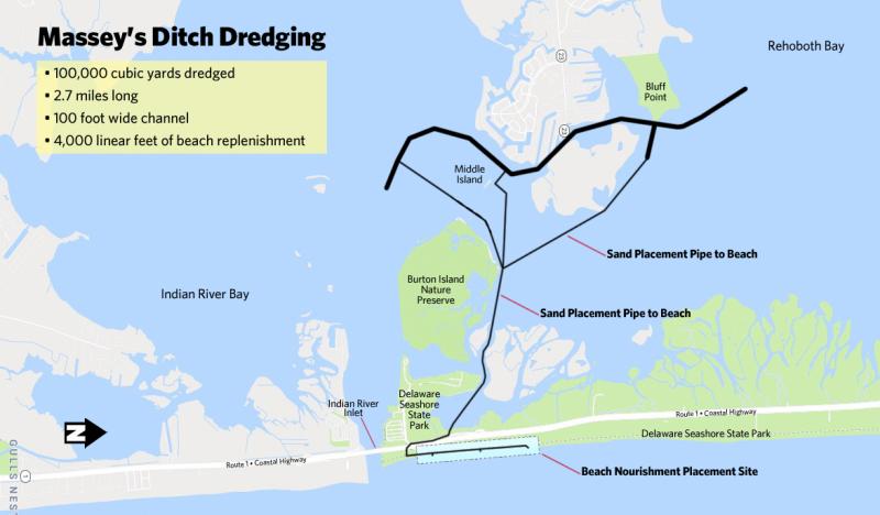
According to a permit issued in November 2018 to Department of Natural Resources and Environmental Control’s Division of Watershed Stewardship, 100,000 cubic yards of sand – 50,000 from Massey’s Ditch and 50,000 in the channel near Lynch Thicket and Middle Island – will be placed on the Atlantic Ocean beach north of Indian River Inlet. The $3.6 million contract was awarded last year to J.F. Brennan Company Inc.
In an email Jan. 9, Michael Powell, DNREC Shoreline & Waterway Management Section administrator, said there will be more sand dredged than previously projected. He said the original estimate was based on a survey done in 2018, and as expected, there is more sand that needs to be moved.
An estimate of how much additional sand needs to be dredged was not provided, but Powell said the contractor will be paid at a $25-per-cubic-yard rate. A project fact sheet found on DNREC’s website says the work is expected to take 31 days and that the dredged material is 98 percent sand.
The popular Sussex County navigation channel, which connects Rehoboth and Indian River bays, is one of roughly a dozen federally authorized channels in Delaware. The 100,000-cubic-yard project almost equals the amount dredged at Massey’s Ditch since the channel was completed in 1957. According to a U.S. Army Corps of Engineers public notice from October 2018, a total of 62,000 cubic yards of material has been dredged since 1987, including 30,000 cubic yards in 2002.
