DelDOT looking to ease the stress of Route 1 cycling
Biking in the Cape Region can either be visually and physically rewarding or one of the most terrifying experiences of a person’s life.
Bike Delaware’s James Wilson said the stretch of Coastal Highway from Five Points to the Forgotten Mile sees nearly two dozen biking-related accidents every year. The Delaware Department of Transportation is aware of the hazardous conditions along Route 1 and has been surveying the public for solutions. The goal is to improve safety, provide better access to businesses and reduce traffic.
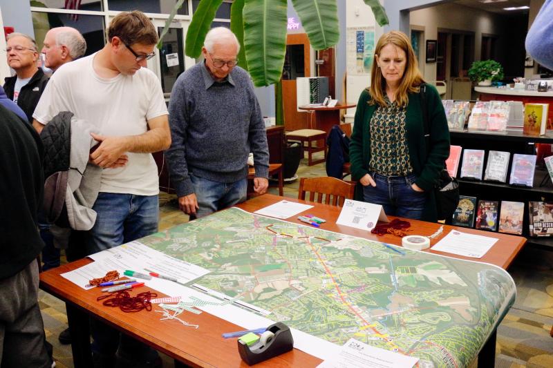
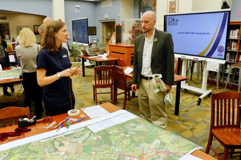
With the enormous growth of the biking community, DelDOT is hoping to catch-up to current needs and begin planning for the future. Transportation officials hosted a November workshop at Cape Henlopen High School to gather input on low-stress projects.
Guidelines and outreach
Safety, comfort, connectivity, directness, cohesion and attractiveness are the seven principles DelDOT uses when designing a bikeway network. Set forth by the Federal Highway Administration, the guide allows routes to be rated by the level of stress bikers may experience while riding on them. DelDOT and the engineer firm Whitman, Requardt & Associates spoke with key stakeholders, visited sites, analyzed data, held impromptu public outreach events, conducted a public survey and studied potential crossing locations.
Of the 395 people who participated in the survey, 333 were residents of the Lewes/Rehoboth Beach area. The multi-answer survey found that most people bike for recreation and exercise, but more than half of the participants also rely on biking to go to the beach and parks. About a third claimed they do not use Route 1 at all, while 285 participants said the biggest barrier is the stress associated with riding near cars.
According to the DelDOT Bicycle Mobility Tool, the intersections that could connect the most people with locations on a low-stress bikeway are Five Points, Shuttle Road, Miller/Munchy Branch roads and Phillips Street. DelDOT and WRA will use data collected from the public and shareholders to refine parallel routes or map potential routes that connect to crossing locations. Routes will need to be finalized and recommendations prioritized before transportation officials develop high-level concepts and planning-level costs for a final report.
What is a low-stress bike route?
Level of stress combines real and perceived dangers associated with riding a bike on a particular route. DelDOT uses a four-point scale in conjunction with speed limits and the volume of traffic on a bikeway to grade the level of stress. Delineated bike lanes and shared-use paths produce low stress and are rated close to 1. Sharrows, shoulders, bike lanes and buffered bike lanes offer little protection from traffic and are rated closer to 4. Physical barriers such as traffic sticks, vegetated medians or barricades help to drastically reduce stress, but are not the only factor in level of stress.
Transportation officials have already ranked the level of stress on each existing path from Five Points to Rehoboth Beach. While officials still seek public input regarding experiences on the bikeways, new paths are being proposed, and DelDOT would like to work to connect existing paths. Officials have found most people are willing to use bikes to get to beaches, businesses and parks, but there are safety concerns.
Safety issues
The current bike study has a goal of increasing the number of homes and destinations connected entirely by the low-stress bicycle network. One criterion used to evaluate how valuable a route is or can be is location along the trail. Access to public transportation, employment, existing parks and trails, schools and community centers were all factors in the research. DelDOT said a direct, parallel route along major roadways will be challenging due to patterns of development, but wayfinding signs and strategic planning could facilitate connections.
Transportation officials have emphasized access to local businesses for bikers and pedestrians because people drive to locations when they could use alternative forms of transportation. In order to reach certain businesses, cyclists and walkers have to either cross or ride along stretches of Route 1. It’s not just consumers either, as seasonal J-1 college students often do not have U.S. driver’s licenses, and must ride bicycles to and from work.
According to the survey, businesses along Route 1 are the top reason people bike across and on a dangerous section of highway. Despite being asked which specific sections they feel should be improved, the most popular answer was to generally improve all crossings. Inattentive/bad driving was cited as the top concern for cyclists, and physical barriers between biking and vehicular lanes was the leading suggestion.
Pedaling forward
The objective of the DelDOT project is to identify locations for low-stress crossings, and to develop recommendations for new design and construction at priority locations. Officials will use public feedback, combined with research, to begin connecting low-stress bike routes either continuously or at appropriate crossings.
Roadwork is underway at Minos Conaway Road, Plantation Road, Kings Highway, Old Orchard Road and Munchy Branch Road. Each road, except Munchy Branch Road, is rated 3 or higher for level of stress. Munchy Branch Road has a trail running parallel to the roadway, similar to a stretch of Kings Highway, reducing riders’ stress. Minos Conaway Road intersects the Lewes-to-Georgetown Trail, which is also the area under construction, while the project at Old Orchard Road leads directly to the Lewes-to-Georgetown Trail. Some $7.5 million in upgrades to the trail have been designed, but financing has not been approved or made available yet.
Ideally, paths would run parallel to roadways. Since that is increasingly difficult, engineers and project managers are using data to identify which crossings connect the most people to the most amenities while experiencing the least amount of stress. The connections may be on stressful roads, but designs can improve the level of safety at that segment. DelDOT has software to identify the level of connectivity of neighborhoods if a new bike facility were to be installed at each proposed intersection.
More information, including a survey, is available at DelDOT.gov/projects/vw/bike.


