City of Rehoboth Map: See how many houses are in one square mile
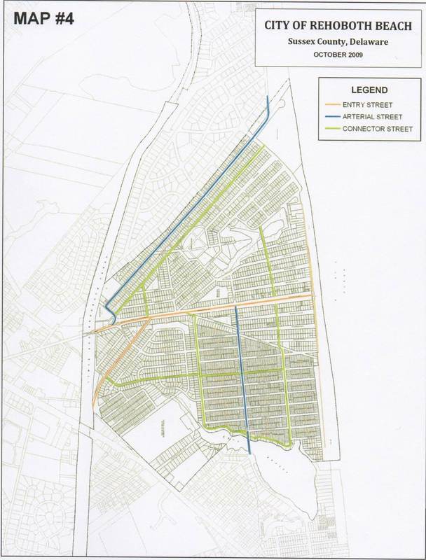
Each one of the tiny rectangles on this map represents a residential lot in Rehoboth. Most of them are 50 ft x 100 ft, or 5000 square feet. That's a little less than a 1/8 acre lot.
As you look at these small lots on the map, imagine a large house and pool built to the maximum allowed under the old zoning code. If you viewed those houses from the street, they would appear to take up the entire lot.
Next, multiply that by the 3000+ lots you see here. And, also note that the entire City is only 1 square mile.
In this scenario, the trees that make Rehoboth unique among coastal towns would disappear. Fewer full-time and active part-time residents would want to live among the mega-houses and would move elsewhere, having far-reaching economic consequences for the City and the region. Lots covered with houses, pools and other impervious structures that take away green space, would also pose serious environmental issues for storm water runoff.
This is the path Rehoboth is on unless zoning changes to rein in this type of development are maintained with a vote FOR the ordinance on November 7. Just in the last 3 years, the number of private pools has more than tripled, from 30 to 100 and many more are literally on the drawing board, awaiting approval and installation should the zoning be overturned.
The map above and the scenarios presented here demonstrate that there is little margin for error. In the final analysis, we agree with Rehoboth’s Mayor who believes these trends are not sustainable, if we want Rehoboth to remain a year-round town known for its character and charm.