DelDOT holds workshop on Route 16 plans in Milton
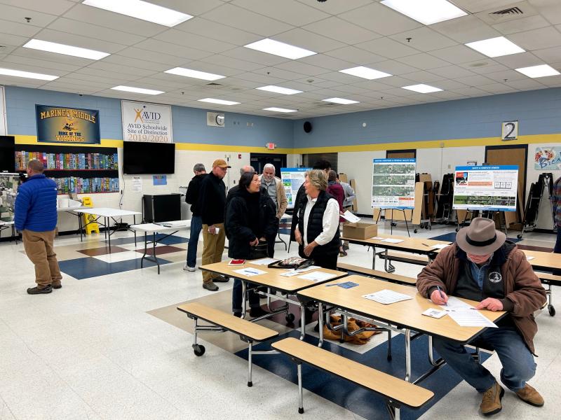
Officials from Delaware Department of Transportation were on hand Dec. 3, to take part in a public workshop seeking input on short- and long-term plans for Route 16 in and around Milton.
DelDOT’s plans for Milton have roots in the department’s Coastal Corridors Study, which took a long look at the present and potential future conditions along Route 16, which has become a major east-west road connecting to the Delaware beaches. That report was released in June, and not long after that, DelDOT partnered with local Milton officials to form the Milton Transportation Advisory Group, which will look at traffic-related issues in and around Milton.
Andrew Bing of Kramer and Associates and DelDOT planner Austin Gray said the department is breaking down its solutions for Milton into two phases. The first would look at just Milton. That phase will run through June 2025. The second phase would look at the rest of Route 16, from Ellendale to Route 1. That phase is planned to run from July 2025 until July 2026. The second phase would look at, among other things, alternative solutions for easing traffic on Route 16, such as an east-west bypass.
For now, DelDOT is focused on just Milton. Bing said in their research so far, from surveying residents, a lot of what people want to see is a Route 16 corridor that is more bicycle and pedestrian friendly.
“There isn’t a great way to cross 16 right now,” Bing said. “If there’s going to be more services out there, more attractions, how can we make it so that 16 functions better to allow people to get to those things more safely?”
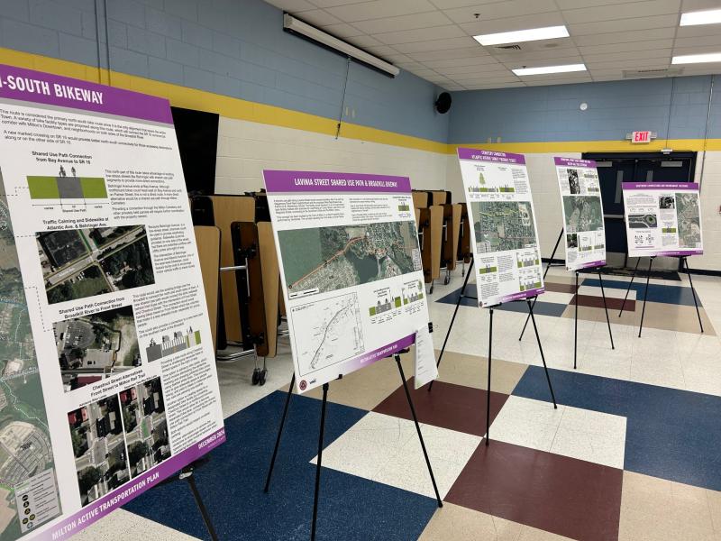
DelDOT presented a number of suggestions for new bike and pedestrian routes through Milton.
Among these potential solutions is a shared-use path on the west side of town, running from Route 16 to Lavinia Street behind H.O. Brittingham Elementary School. Also suggested is a north-south bikeway through Milton, using Behringer Avenue starting behind Food Lion down to Chestnut Street and connecting to Harbeson Road. This proposal includes the use of sharrows on the roadway, and taking a 10-foot section of the existing roadway and making it a shared-use path.
Additional bike trail proposals include a path on Lavinia Street running from Wagamons West Shore to Chandler Street, and a connection that would run from Shipbuilders Boulevard to Palmer Street. Another proposal is filling out the existing Rails to Trails by creating a shared-use path that would run from Front Street to Cave Neck Road, through Dogfish Head, and then meet up with the Rails to Trails at Chestnut Street and go down to Lavinia Street.
One of the more ambitious proposals is a southern connection that would involve the construction of roundabouts at Sand Hill and Harbeson roads, and at Shingle Point and Harbeson roads with a shared-use path that would run through and connect Heritage Creek to Cannery Village.
Gray said these concepts have been developed as examples of what could be done, but the timeline for any of these concepts is still unknown, and dependent on factors such as funding and where the projects would fall on a priority list.
Bing said at this point, DelDOT is looking for the public’s input to help come up with preliminary designs that would be unveiled at the end of the study in 2026.
“In order to understand what needs to happen east-west, regionally, we have to look at what impacts could be happening at 16 in town and in the intermediate area,” Gray said.
“Once we understand what we’re going to do here, that will be of significant input into what we want to do more broadly,” Bing added.


