The rain continued to fall Oct. 3, as the poor weather conditions caused by the weakened Hurricane Ian storm system persisted in the Cape Region for the fourth straight day.
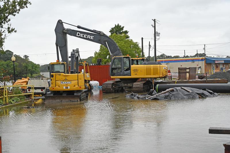
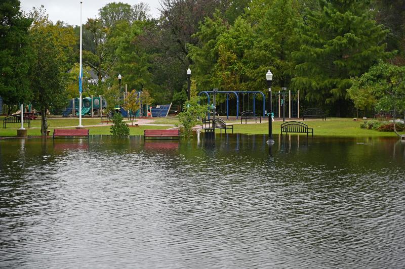
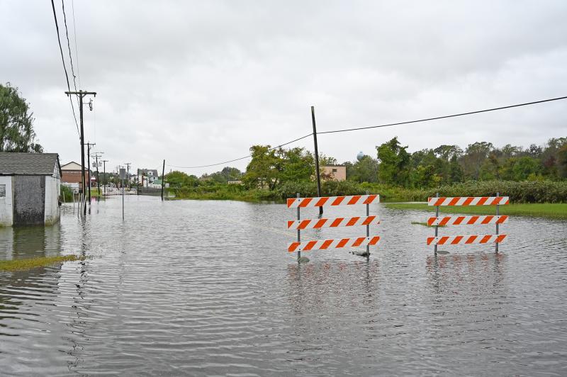
In Milton, flooding has closed Front Street near the wastewater treatment plant as well as Magnolia Street, where an ongoing project is aimed fixing frequent flooding. The Broadkill River has crept into Memorial Park, with legs of riverfront benches now part of the river.
High tides are expected to reach levels not seen in several years over Tuesday Oct. 4, and possibly Wednesday, Oct. 5, causing excessive flooding along coastal areas and the back bays areas of the Cape Region.

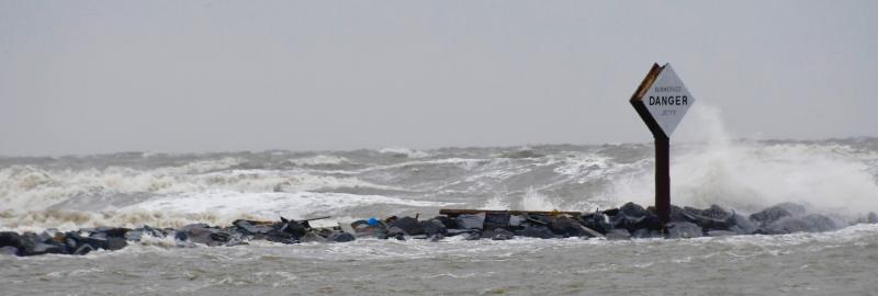
As high tide Oct. 3 approaches, unrelenting waves pound into the dune along Lewes Beach near Roosevelt Inlet. Widespread beach erosion is occurring all along the Cape Region coast. RON MACARTHUR PHOTO
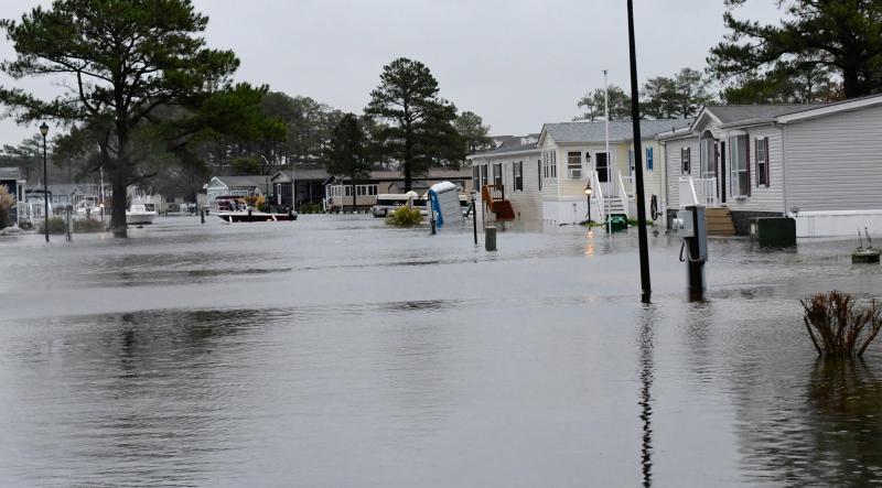
Mariner’s Cove near Long Neck is hard hit by rising waters from Rehoboth Bay during Monday’s high tide. RON MACARTHUR PHOTO
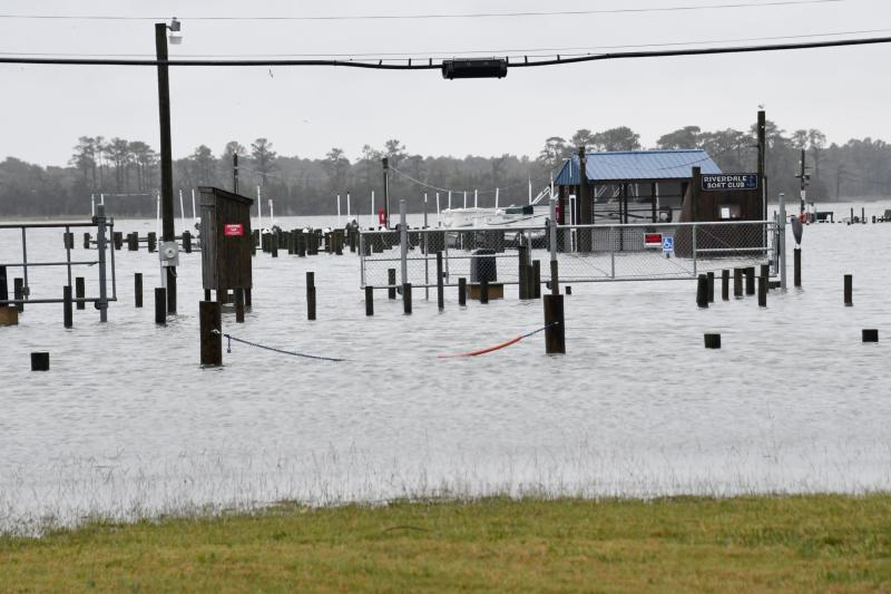
The Riverdale Boat Club’s docks in Oak Orchard are covered with rising waters from Indian River. RON MACARTHUR PHOTO
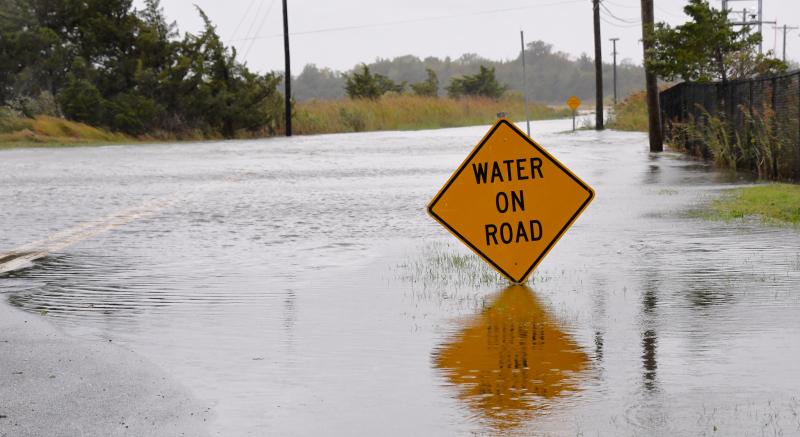
The northwest end of Pilottown Road in Lewes is closed as waters from Canary Creek flow into Delaware Bay. RON MACARTHUR PHOTO
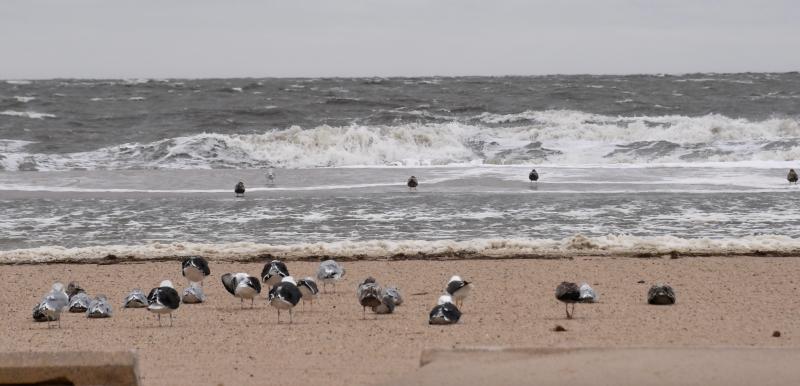
Seagulls stay low and on the ground as winds with gusts to 40 mph whip waves on Delaware Bay. RON MACARTHUR PHOTO
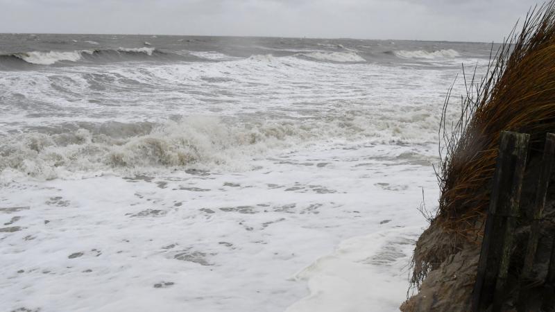
During Monday’s high tide, waves break up to the dune line along sections of Lewes Beach. RON MACARTHUR PHOTO
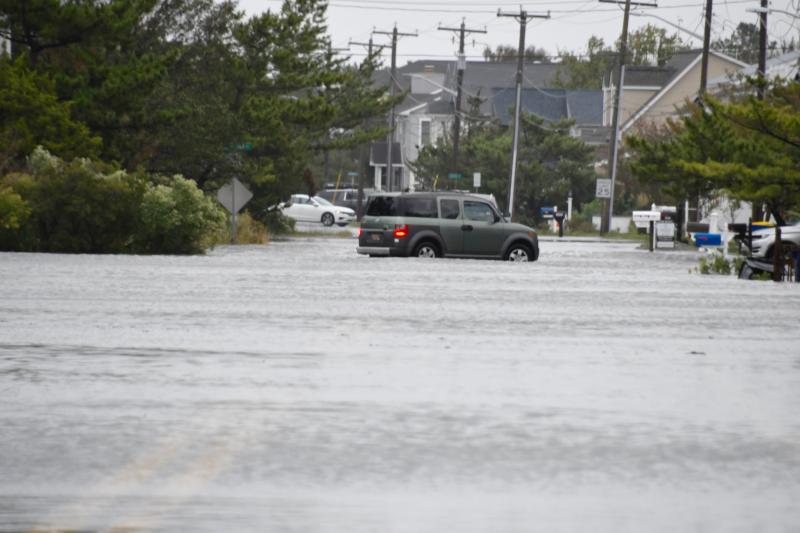
This driver decided not to brave the foot-high water on Cedar Street in Lewes during Monday’s high tide. RON MACARTHUR PHOTO

Water from the Lewes-Rehoboth Canal begins to spill over onto Canalfront Park in downtown Lewes. RON MACARTHUR PHOTO
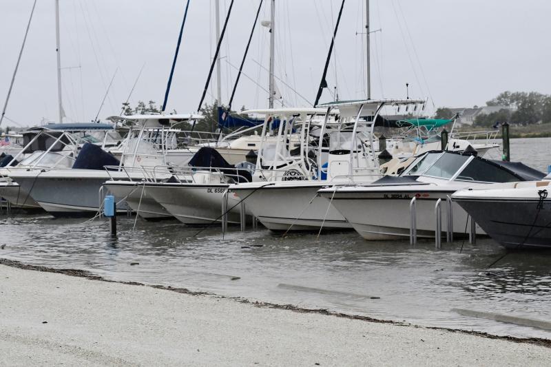
The docks and walkways in the this Pilottown Road marina in Lewes disappear under the rising waters of the Lewes-Rehoboth Canal. RON MACARTHUR PHOTO
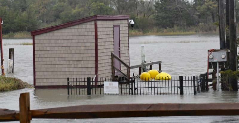
Several boathouses along Pilottown Road in Lewes are surrounded by water from the canal. RON MACARTHUR PHOTO

Where are the docks? They are under the waters of the Lewes-Rehoboth Canal along Pilottown Road in Lewes. RON MACARTHUR PHOTO
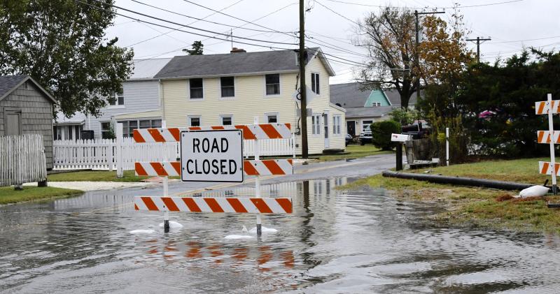
This sign is not unfamiliar to residents who experience frequent flooding in Oak Orchard. RON MACARTHUR PHOTO

One of the lowest points in Oak Orchard is River Road, which runs along Indian River. RON MACARTHUR PHOTO

Many of the streets in Mariner’s Cove off Long Neck Road are flooded at high tide on Monday with waters from Rehoboth Bay. RON MACARTHUR PHOTO

Many homes in Mariner’s Cove off Long Neck Road are surrounded by water during Monday’s high tide. RON MACARTHUR PHOTO

A pot breaks lose in Mariner’s Cove and goes with the flow of the water toward Long Neck Road. RON MACARTHUR PHOTO

Much of Long Neck Road is closed Monday, blocking any access to areas beyond Mariner’s Cove. RON MACARTHUR PHOTO

Mariner’s Cove residents will face some cleanup in their community once the water recedes. RON MACARTHUR PHOTO


