A massive storm covering the East Coast into Canada hit the Cape Region Dec. 17-18. Depending on location, 2 inches to 4 inches of wind-driven rain fell, flooding many roads and low-lying homes.

A house on Hudson Road has a water-filled front yard. Sections of Hudson Road were nearly impassable. RON MACARTHUR PHOTO

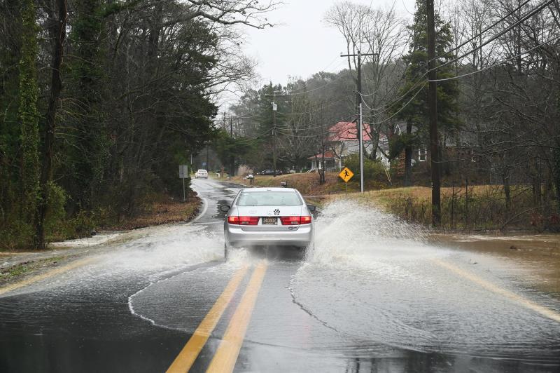
A low section on Hudson Road near Milton is impassable with water drained from across the road. RON MACARTHUR PHOTO

Several homes along Route 5 near the Hollyville and Hollymount roads traffic signal get all of the overflow from the road and neighboring properties. RON MACARTHUR PHOTO

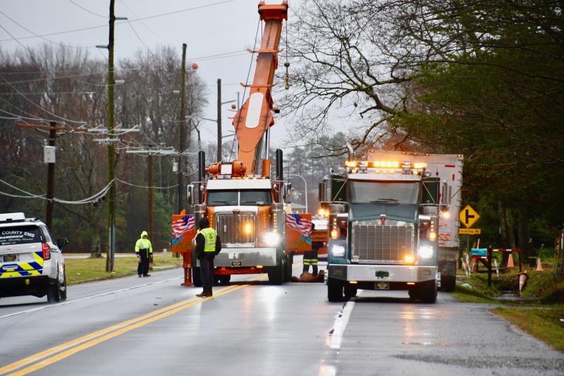
Although it looks like a emergency, it’s actually tow trucks preparing the move a stalled tractor-trailer near Long Neck. RON MACARTHUR PHOTO

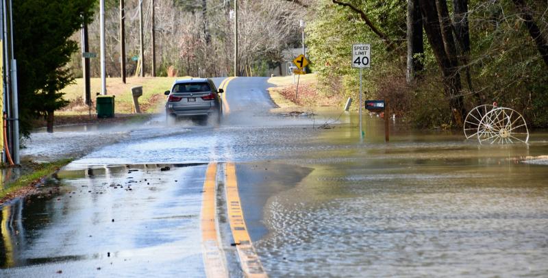
There is just enough room to get onto Cordrey Road near Long Neck. Cannon Road, shown, was closed to traffic because of a washout. RON MACARTHUR PHOTO

The low point in Atlantic Street in Milton is flooded, making it difficult for morning commuters to pass through. NICK ROTH PHOTO

Vehicles splash through minor flooding on Savannah Road, near Otis Smith Park in Lewes. BILL SHULL PHOTO


